Know where your team is, anywhere
tracr.space puts your team on one simple map, even in remote places where phones have no signal. It is built for aid and humanitarian organisations that need to look after people on the move.
Works where phones do not
No mobile network, no local equipment. If a tracker can see the sky, you can see where it is.
One clear picture
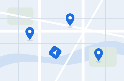
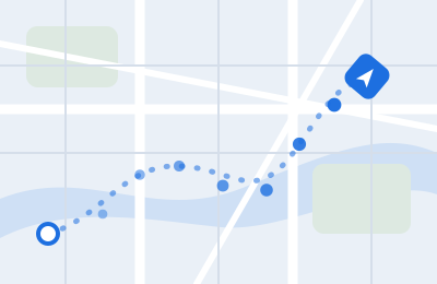
Every vehicle and person on one map, with the direction they are heading and the path they have taken.
Your team, your data
Your organisation decides who sees what. The information belongs to you, not to a platform.
What you get
- A map of every tracker, with the direction it is heading, how fast it is moving, and the trail it has taken.
- Teams and roles: the right people see the right groups, and operators manage the rest.
- Tracking from a phone as well as from a dedicated tracker, all in the same view.
Where we are
tracr.space is in development with early partners. The map, the teams and the sample workspace are ready to try. Next come our own purpose-built tracker and alerts when a vehicle enters or leaves an area.

See it for yourself
Open the demo and explore a sample team on the map. No sign-up needed.
Try the demo